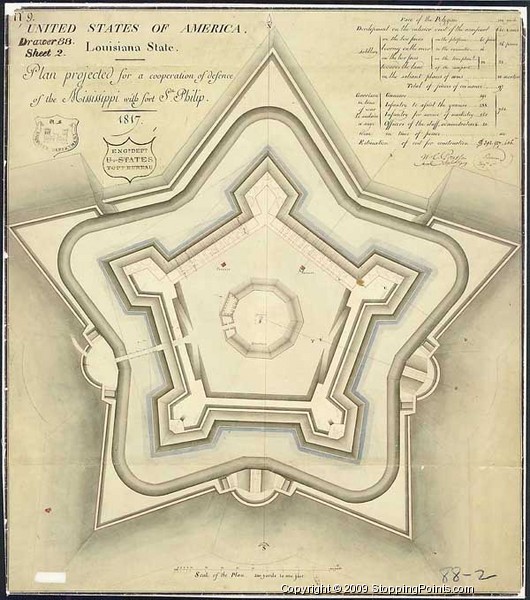
| Home → Louisiana → Plaquemines Parish → Venice → Fort Jackson → Plan for Fort St. Philip |
| Venice Weather: |
|
|||||||||||||||||||||||||||||||||||||||||||||
| Historical Markers | | | Historical Sites Near Me | | | Antique Recipes | | | Photo Gallery | | | Widgets | | | About | | | Privacy Policy | | | Contact |
Weather data provided by OpenWeatherMap. Copyright © StoppingPoints.com, 2022. All Rights Reserved.


