Faubourg Marigny Historical Marker Photo |
|
| 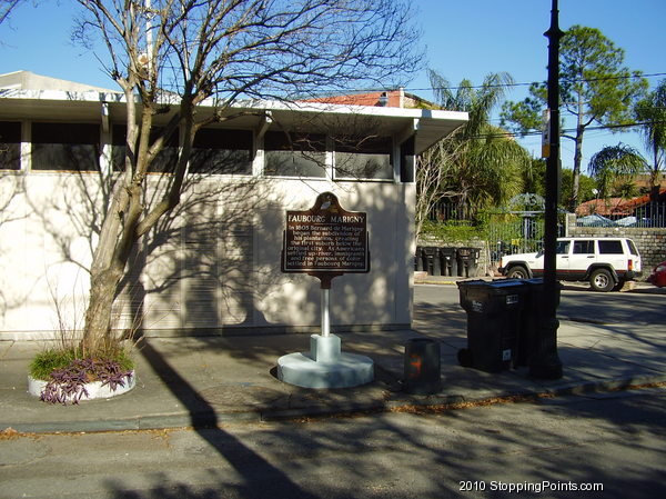
Faubourg Marigny Historical Marker photo - picture in New Orleans, Orleans Parish, Louisiana
The Marigny (often referred to as Faubourg Marigny) is a neighborhood of the city of New Orleans. A subdistrict of the Bywater District Area, its boundaries as defined by the City Planning Commission are: North Rampart Street and St. Claude Avenue to the north, Franklin Avenue to the east, the Mississippi River to the south and Esplanade Avenue to the west. |
|
|
| |
| Marker Type: historical markers |
| |
| See the Faubourg Marigny Historical Marker page.
|
| |
| Photo by Bill Lawson |
| |
|
Last updated: Jan 10 2021 19:40:40 |
|
Latitude & Longitude:
29° 57' 54.1116",
-90° 3' 24.6852"
|


